


Centre For Marine Simulation, Marine Institute
( "Centre For Marine Simulation, "St. John's", Newfoundland, "Newfoundland and Labrador", Kanada )
commercial
 Mon, Jul 7 19:13
Mon, Jul 7 19:13
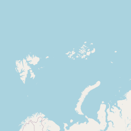
47.5862418359373
-52.7358494176834
Centre For Marine Simulation, Marine Institute koordinater är 47°35'10" N och 52°44'9" W i DMS (grader, minuter och sekunder) eller 47.5862 latitud och -52.735 longitud (i decimalgrader). Centre For Marine Simulation, Marine Institute har en höjd av ~? meter. Nuvarande lokal tid är 19:13; solen stiger på 05:12 och solen uppsättningar på 20:59 lokal tid (America/St_Johns UTC/GMT-2.5).
Tidszonen för Centre For Marine Simulation, Marine Institute är UTC/GMT-3.5 men eftersom sommartid (DST) är i praktiken den aktuella tidszonen UTC/GMT-2.5.
Tidszonen för Centre For Marine Simulation, Marine Institute är UTC/GMT-3.5 men eftersom sommartid (DST) är i praktiken den aktuella tidszonen UTC/GMT-2.5.
| lågmoln | mellanhöga moln | höga moln | konvectionsmoln | Nederbörd | Regnskurar | Temperatur | 0 C | Vindhastighet | Vindby |


